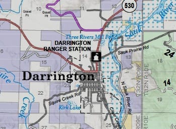
Sauk River After Heavy Rains
After the historic flooding of rivers last week, one of our local reporters sent in photos of the Sauk near the Hampton Mill in Darrington, and also along the Old Sauk Trail.
Report from Sunday, December 21, 2025
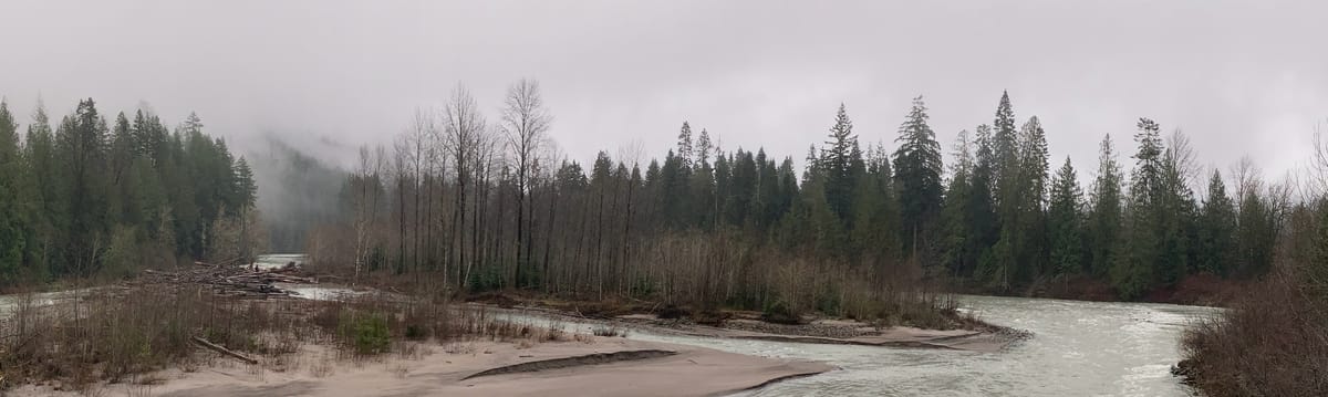
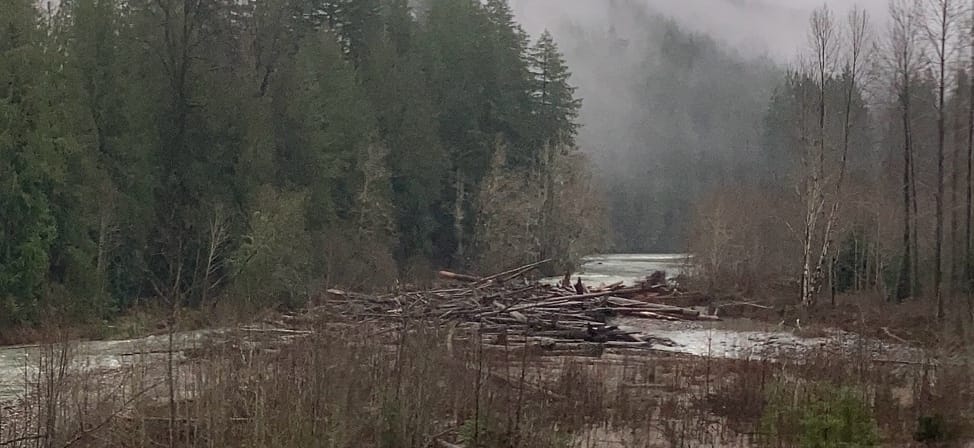
The river just south of the bridge usually has two separate channels flowing around an island. But now the former primary channel on the east side is nearly completely blocked by a large log-jam. A panorama looking south from the bridge shows the log jam to the left, with the main water channel to the right. With heavy rain falling for three hours straight today, it appears that more water is flowing in the east channel.
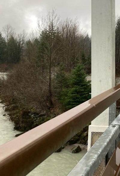
The west channel of the river flows right up against the mill's huge hill of bark compost.
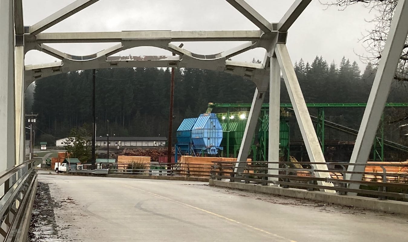
The low area near the mill office had no flooding. A long high berm made of bark compost was built up against the log piles there to prevent potential damage from flood waters.
Clear Creek Road South
Along Clear Creek Road there's no sign of road damage. There is evidence of a couple of large trees that fell across the road, now all cut up with the pieces shoved aside, one in Backman Park. The shack that has been falling apart just south of the one-lane part of the road is now just one single wall, barely standing, leaning into the river. The Sauk has made soup of the rest of that one time dwelling, and swallowed it down stream.
Along Old Sauk Trail, Monday, Dec 23
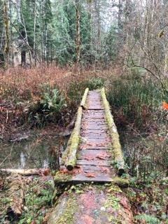
Log bridge along trail still intact
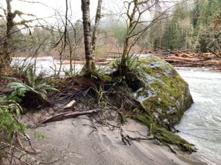
Big rock partly submerged by the river
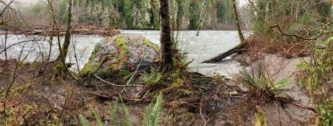
Looking north past big rock
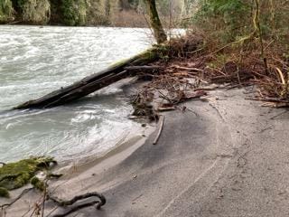
Looking south at sandy beach by big rock
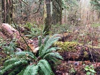
Along the trail were a number of fallen trees, mostly smaller ones, but the huge cottonwood with a scar on its trunk a bit south of the big rock lost its top. In places the trail was muddy and full of silt from the river, showing the flood waters had come that high.
Cottonwood with top broken off
Brush, logs along trail
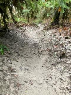
Muddy path with river silt on the Old Sauk Trail
Further south along the trail is a favorite spot for many – the sandy, ever changing "beach" between the rushing flow of the river and the stacked mounds of moss-covered boulders. Below, you can see how channels were carved into the sand. Now receding, the waters leave interesting patterns.
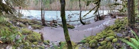
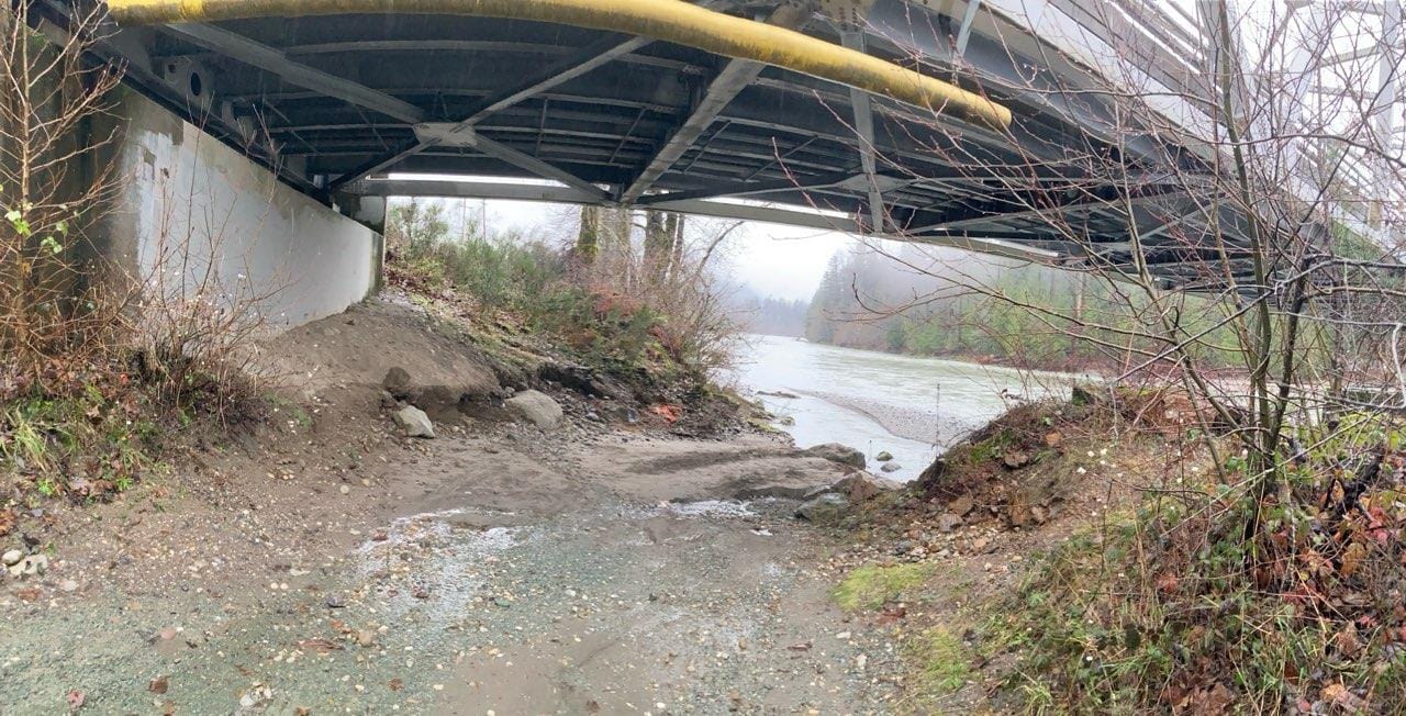
Sandy spot along trail, panorama toward river
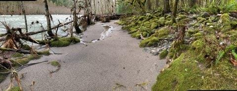
Same sandy area, looking south
Report and photos by Rob Stauffer
Comments ()